Education and Science, Estonia, Good for Business, Technology
International Internet Magazine. Baltic States news & analytics
Monday, 17.11.2025, 07:08
New laser technology scraps Baltics highest mountain of a metre of height
BC, Tallinn, 11.03.2013. Print version
 Print version
Four years of measuring work with a LIDAR device, that measures the height of land objects from a plane with the help of a laser beam, have yielded the new map of heights of Estonia but also scrapped the Baltic States' highest mountain of nearly a meter of height, LETA/Eesti Päevaleht writes.
 |
|---|
The new map can be seen by all in the Land Board geo-portal.
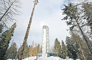
The official height of Suur Munamägi, which is the highest mountain in Estonia as well as the Baltic states, is 318.1 meters above sea level. Measuring with the LIDAR device yielded the result of 317.4 meters.
The difference was even bigger for Estonia's second-highest mountain, Vällamägi – while its official height is 303.9 meters, LIDAR yielded the result of 301.2 meters.
In order for the results to be recorded as official, the mountains have to be measured by hand too, since forests and plants can mislead the laser beam somewhat, the daily writes.


 «The Baltic Course» Is Sold and Stays in Business!

