Analytics, Estonia, Real Estate
International Internet Magazine. Baltic States news & analytics
Friday, 19.04.2024, 01:23
Estonia turns out to be over 100 sq kilometres bigger than thought
 Print version
 |
|---|
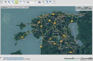
The earlier land cadastre statistics stated the area of Estonia to be 45,227 square kilometres, but now it is 45,339 square kilometres, when calculated planispherically, the Land Board reported.
"While so far, the so-called statistical area fixed on paper maps nearly 20 years ago was used, now much more accurate data from electronic databases is used," explained the Director General of the Land Board Tambet Tiits.
For example, years ago, a pencil or marker was used to mark a border on the map, the line width of which could give an up to 50 meters deviation. Now, thanks to modern technical possibilities, the quality of basic maps is considerably better, the accuracy of determining borders has increased and the results are more reliable.
The major differences come from administrative units that have waterfront border, because their administrative border will be now identical with the shoreline. The main changes come from the Baltic Sea, Lake Peipsi, Lake Võrtsjärv, Narva River and the Narva Reservoir shoreline changes. For example, the city of Narva had to be corrected in connection with the water reservoir by 20% and the size of the city is now considered to be 6,895 hectares instead of the previous 8,454 hectares. The town of Kallaste on the shore of Lake Peipsi increased by 33 hectares and the Piirissaar Island in the Lake Peipsi grew by 104 hectares. The area of Estonia's capital Tallinn also grew by 104 hectares.


 «The Baltic Course» Is Sold and Stays in Business!

